
Welcome to Beckley
BACBS have prepared an information booklet hopefully of use to people moving into the area. The first is centred on Beckley but versions for surrounding villages will follow. The booklet is available on the Beckley Village website.
Walking routes around Beckley and the local area
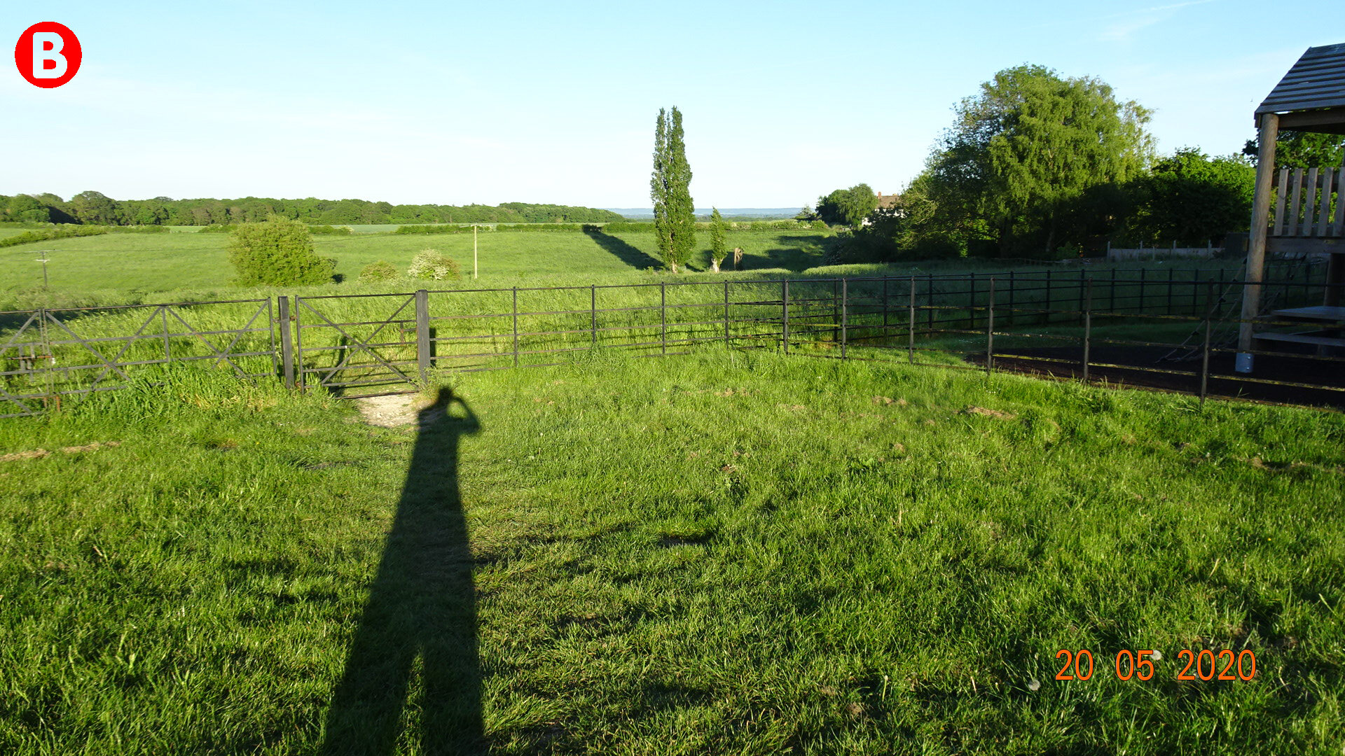
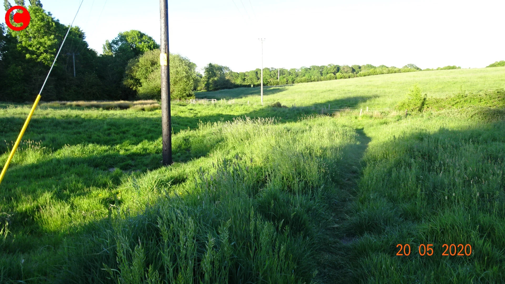
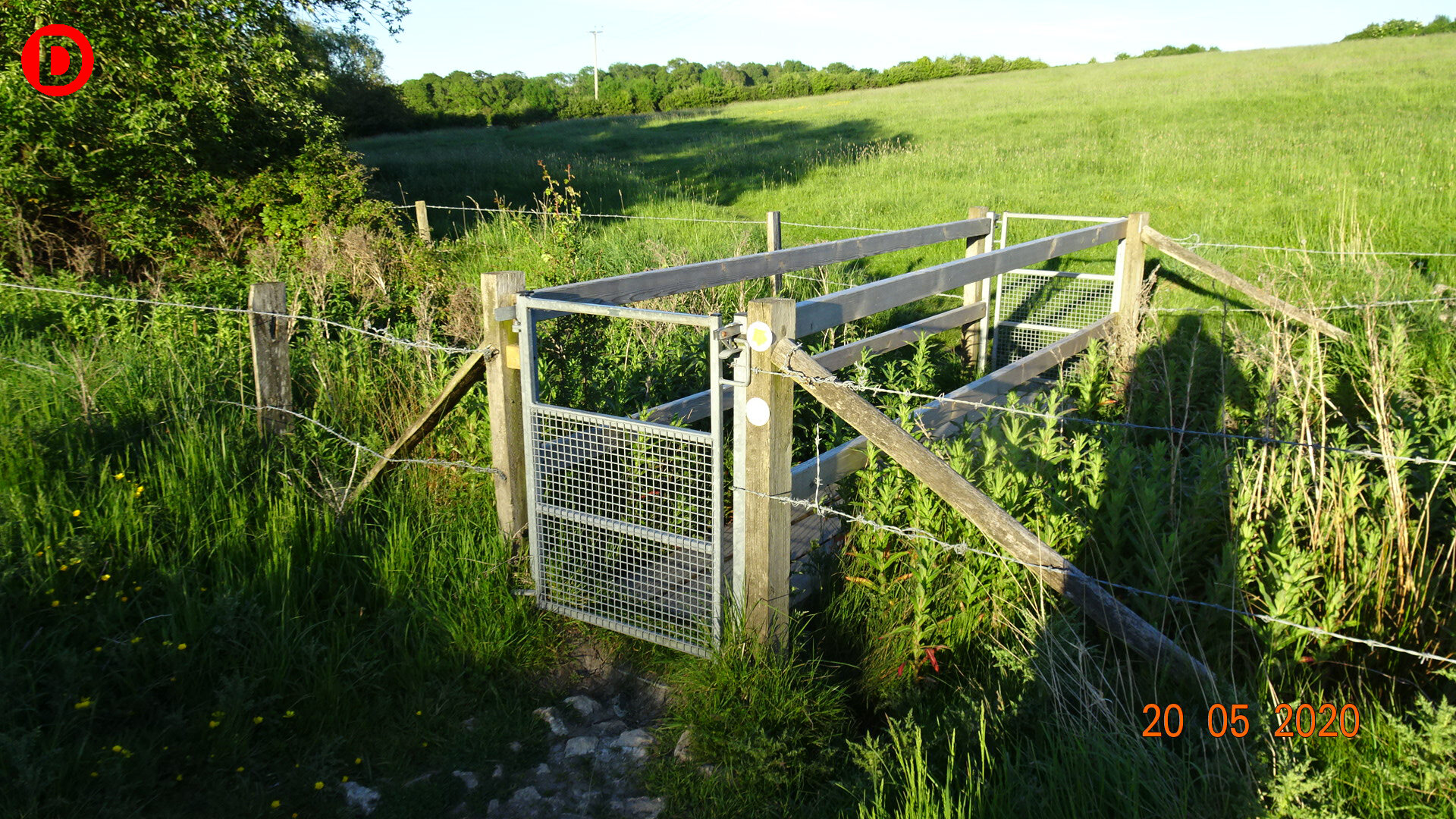
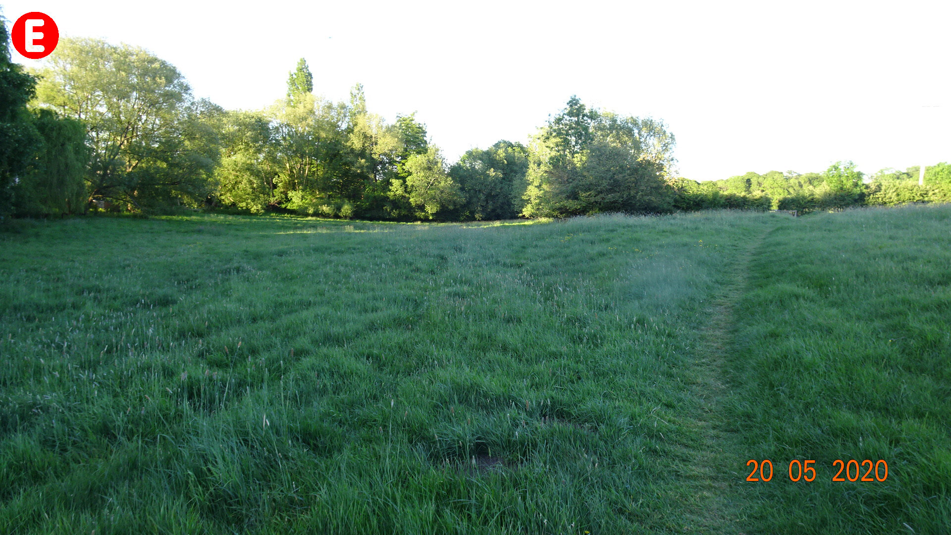
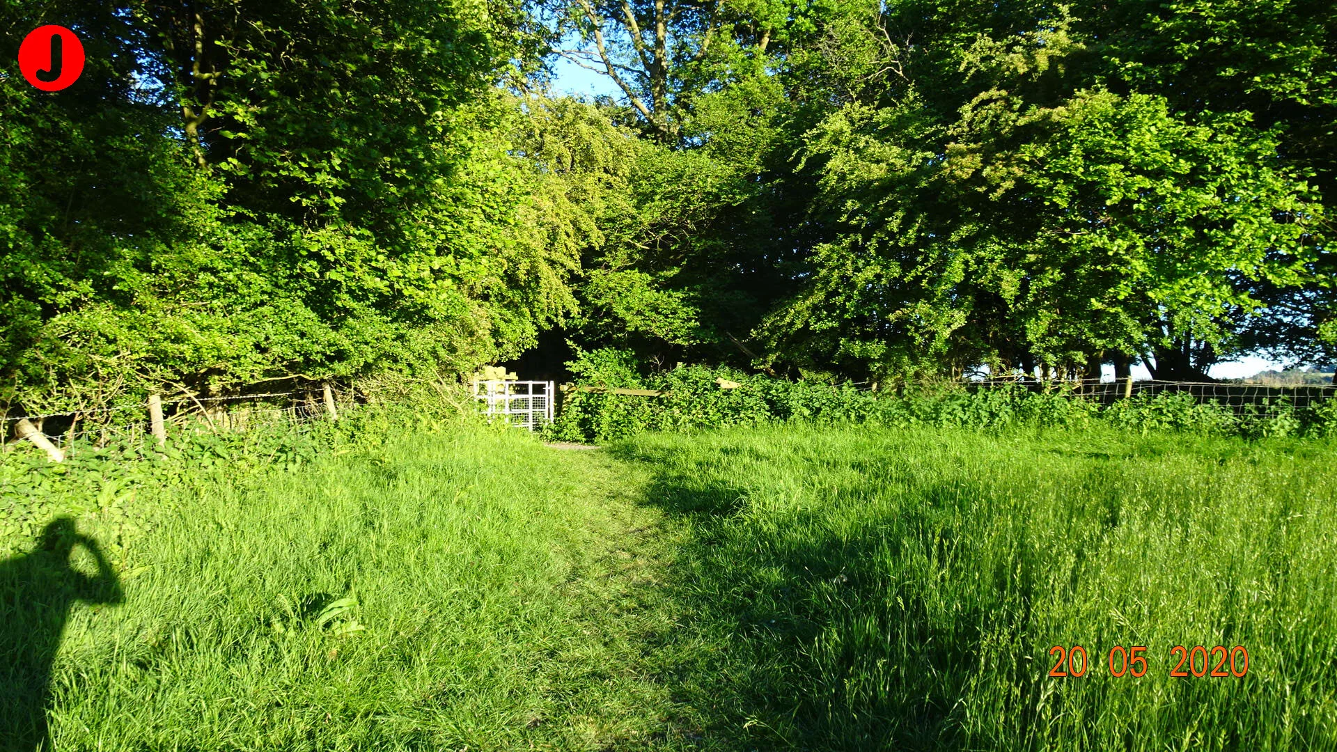
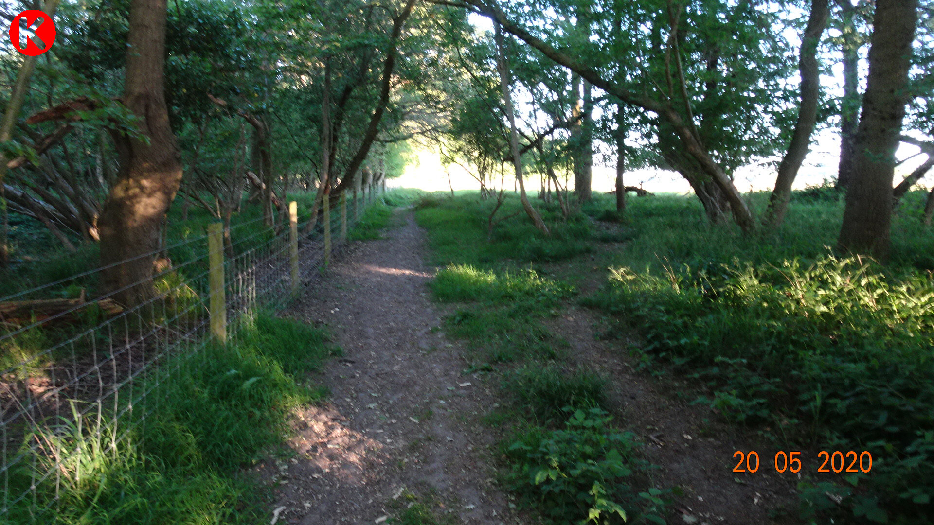
We have designed a number of local walks around Beckley and the surrounding area, mostly short-ish (half to one hour) and leaving from The Abingdon Arms.
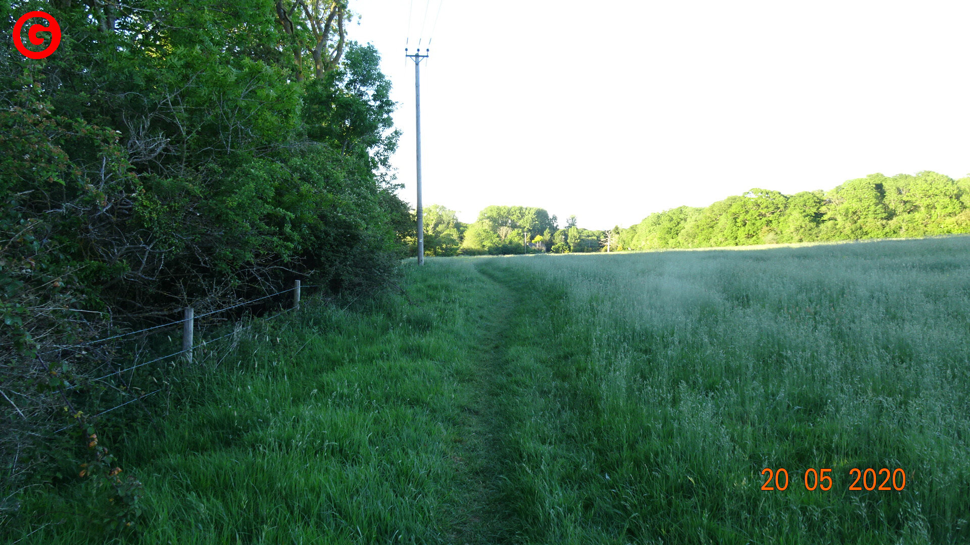
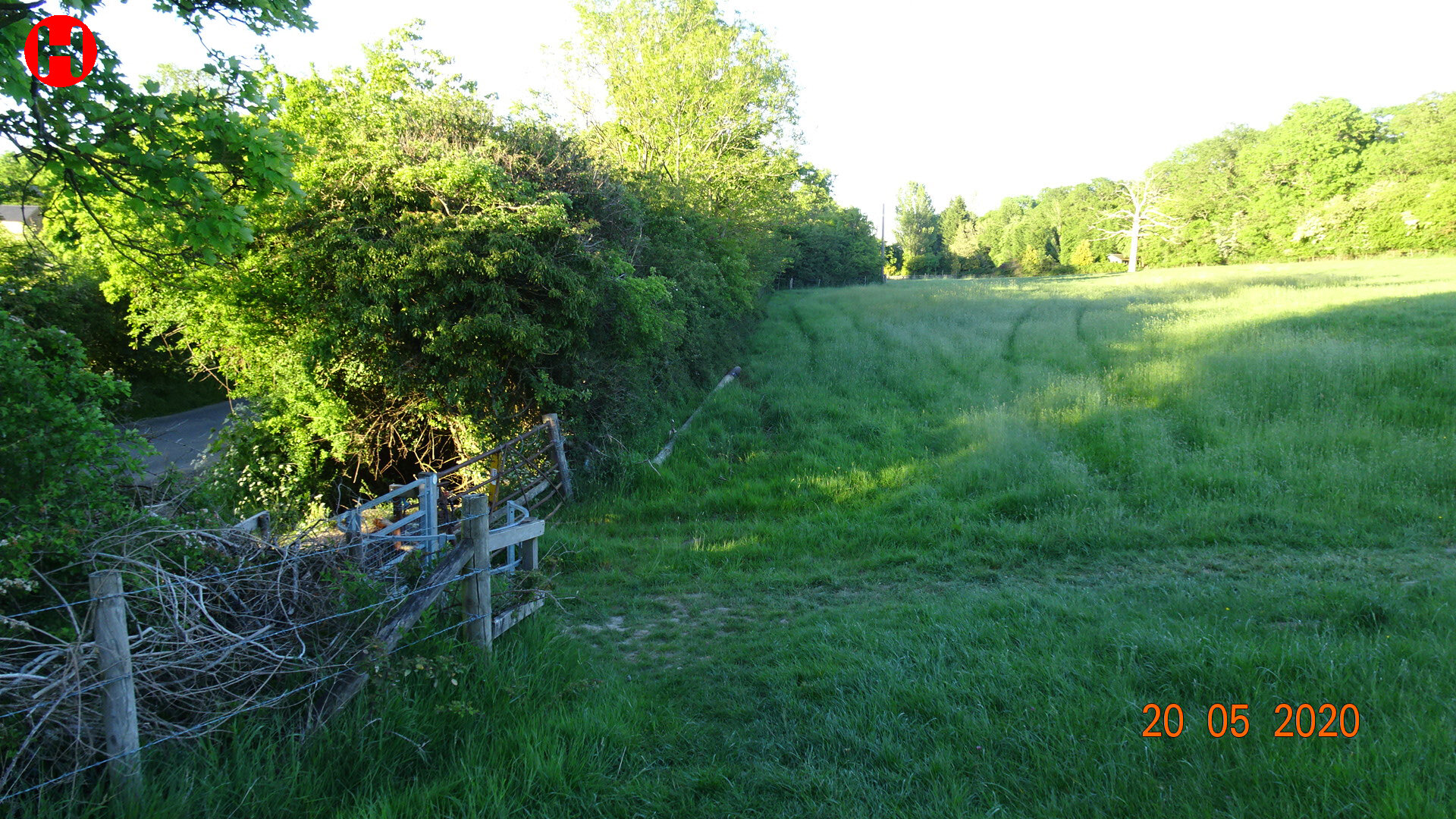
All these walks are accessible for dogs on leads, except for one track on the RSPB Otmoor reserve past the viewing hide, as marked on the Otmoor Nature Reserve map (map 6). Please note there are cattle with calves in some fields in the area.
Our routes can be best followed in conjunction with the small, folding Around & About map we commissioned, which are on sale at The Abingdon Arms and available from the Stanton St John and Islip village shops, price £4.50. The suggested walk routes are also shown on a map display board outside The Abingdon Arms.
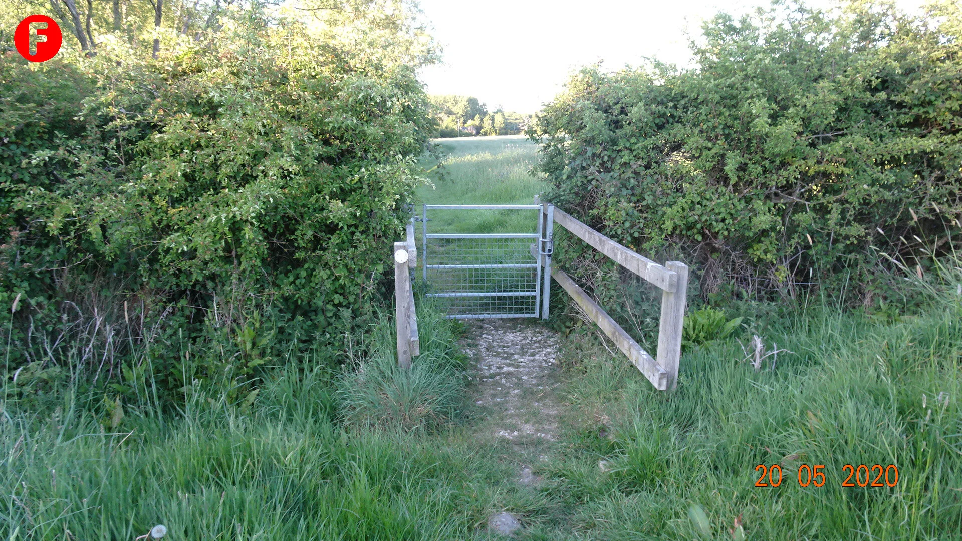
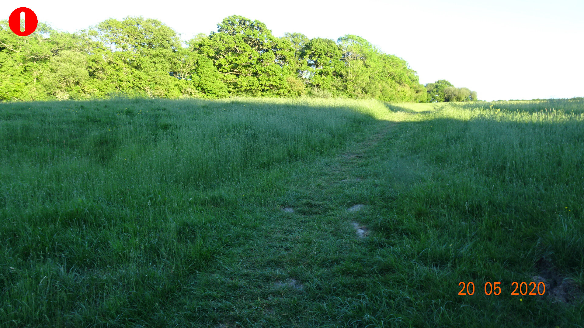
To find your walk, refer to the overview map then find the details in the individual walks below. You can click on the individual maps to see enlarged versions. You can download the notes for each walk by clicking on the button below the walk. If you have a smartphone and walking app, a Garmin or similar device, you can download the GPX track data file. All of the walks are circular so, of course, you can follow the route in either direction and start/finish at any point. You can also combine parts of different routes, if you want.
Enjoy!
Overview Map
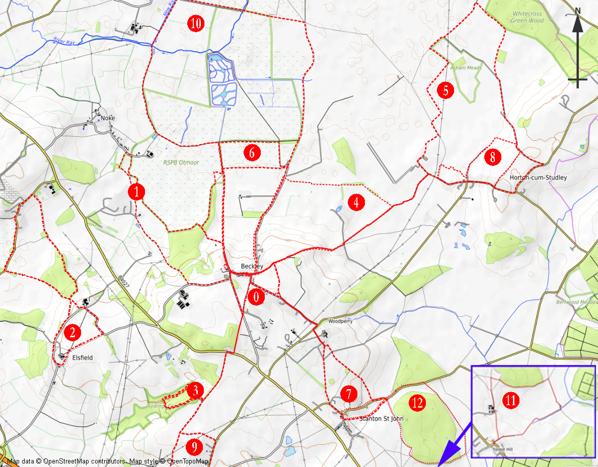
Click on map to enlarge
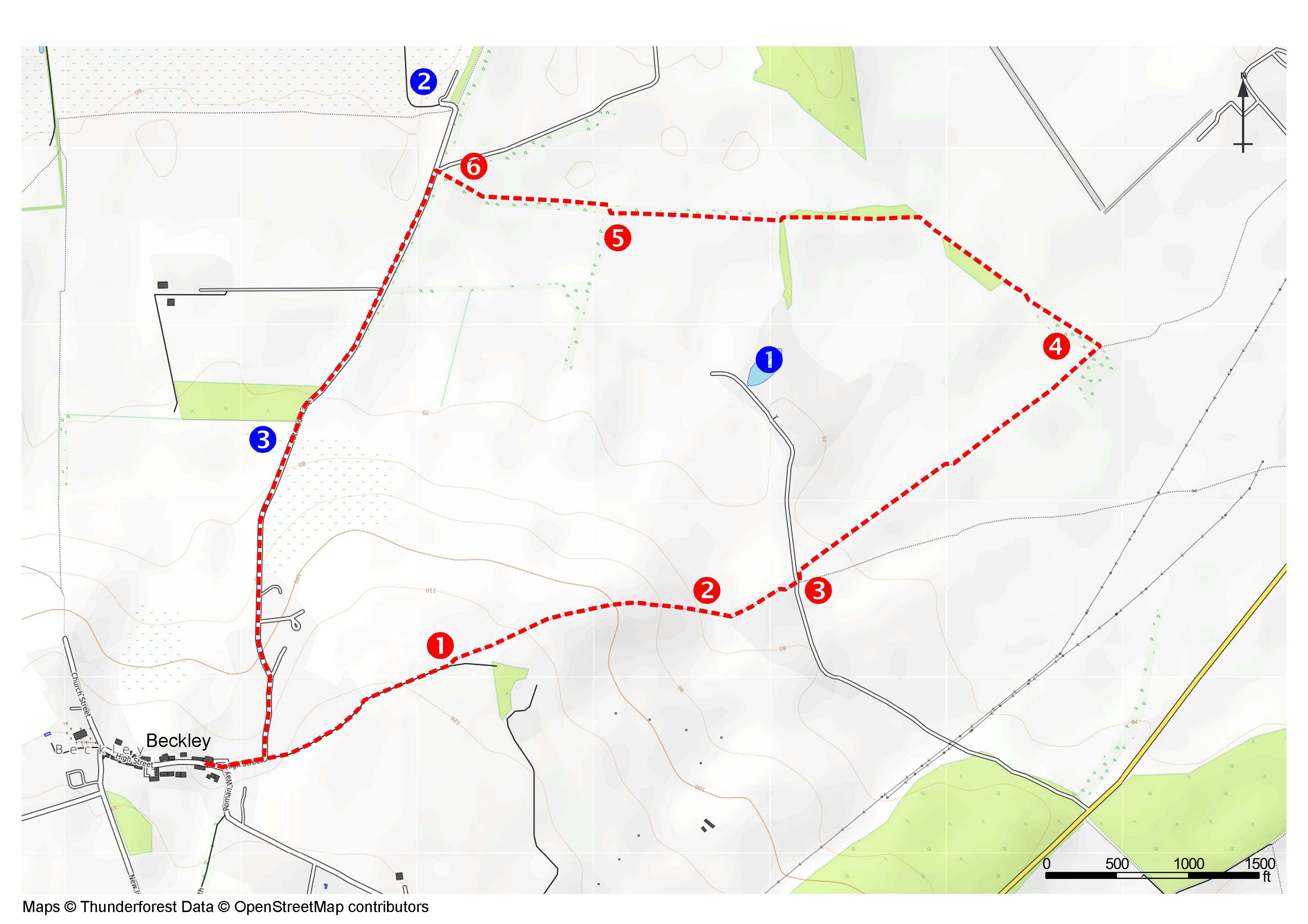
WALK 0 - Beckley Village Circular
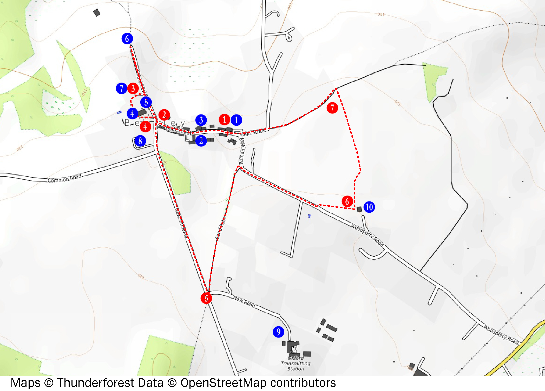
Click on map to enlarge
Walk 1 - Noke Circular
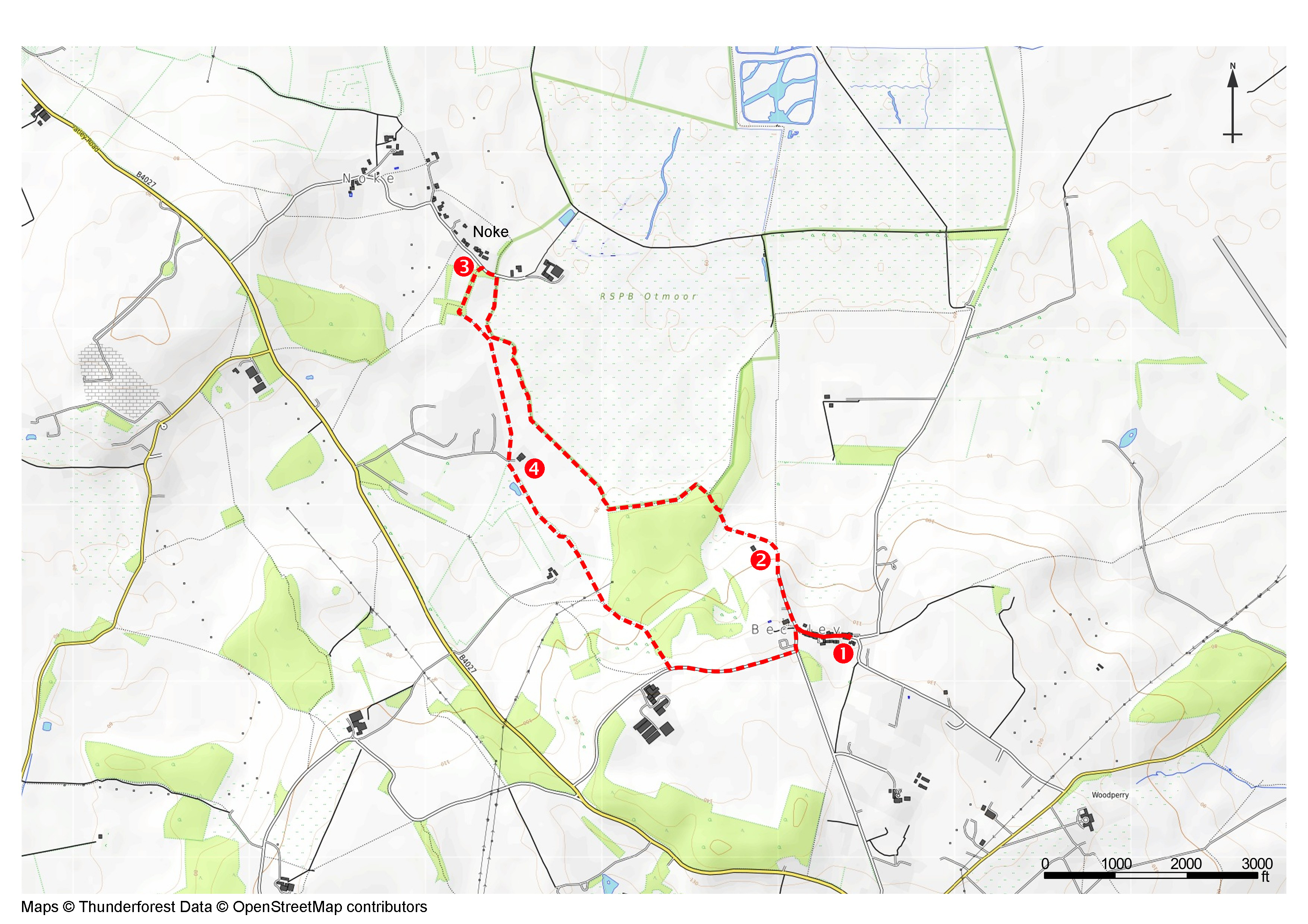
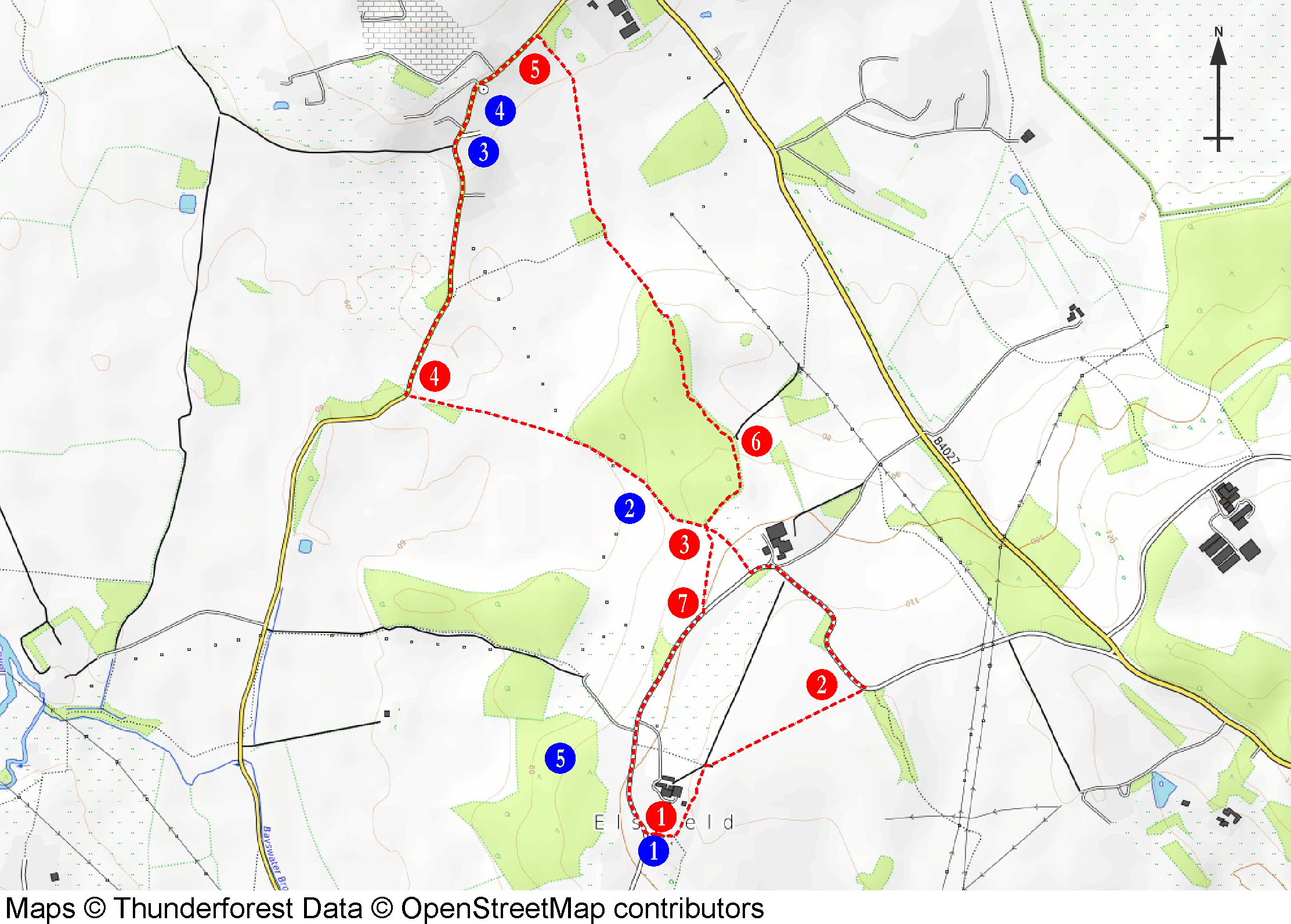
Click on map to enlarge
Walk 2 - Elsfield Woodeaton Circular
Click on map to enlarge
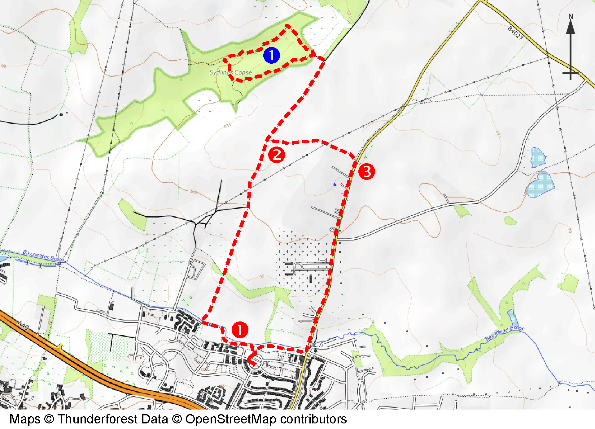
Walk 3 - Sydlings Copse
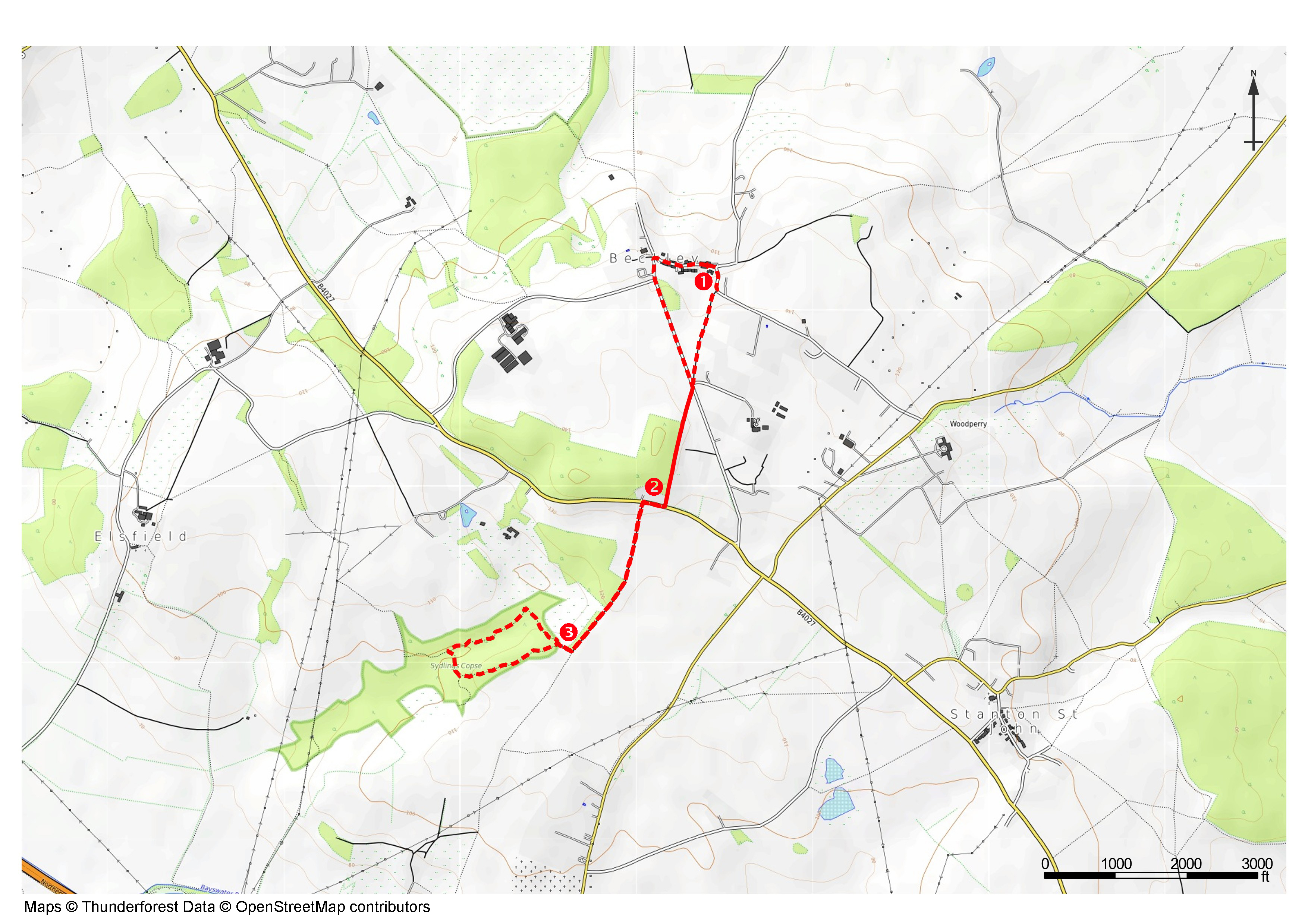
Click on the map to enlarge
WALK 4 - Beckley Park Circular
Click on map to enlarge
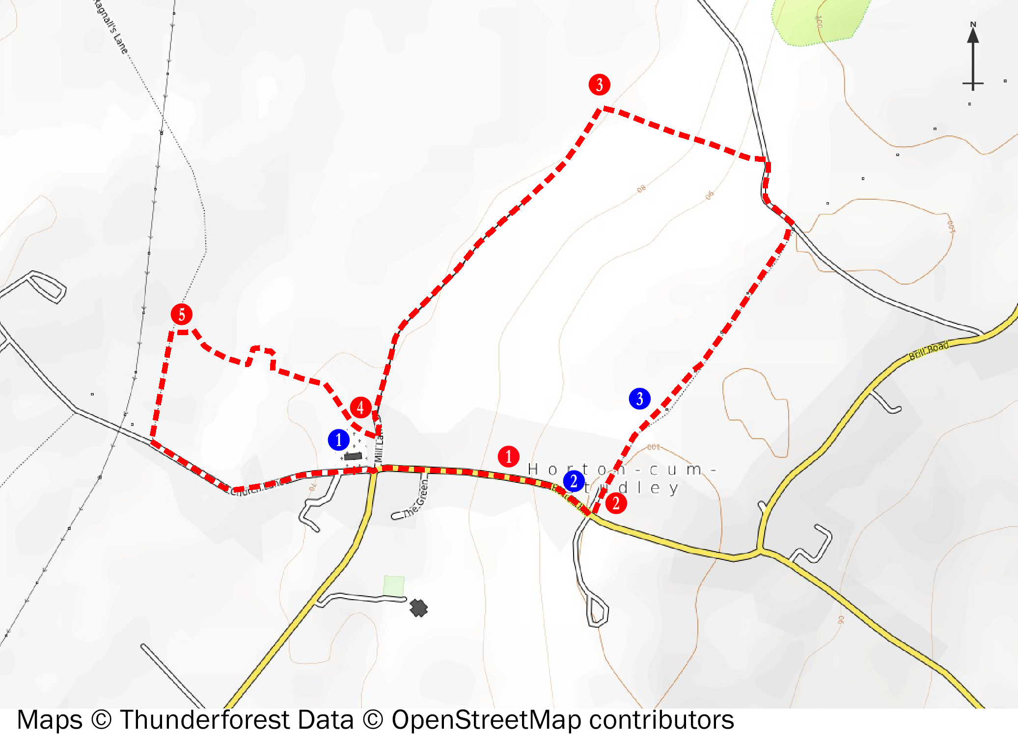
Walk 5 - Horton cum Studley and RETURN
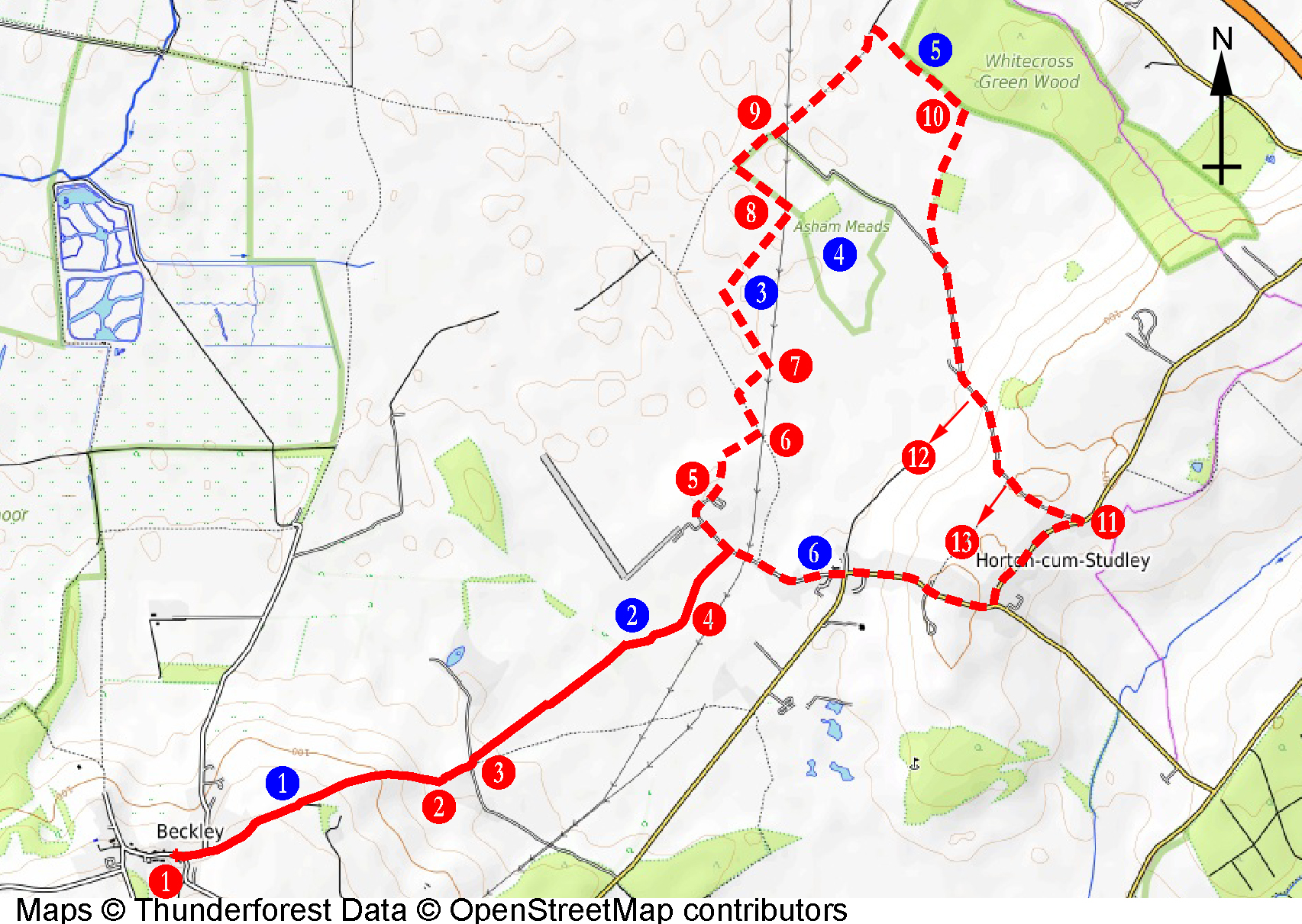
Click on map to enlarge
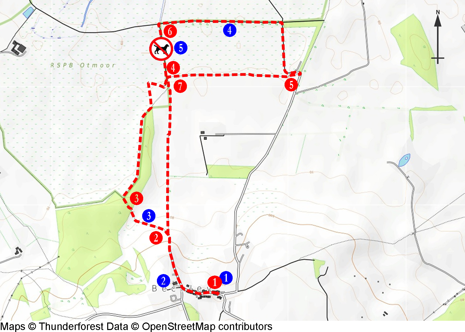
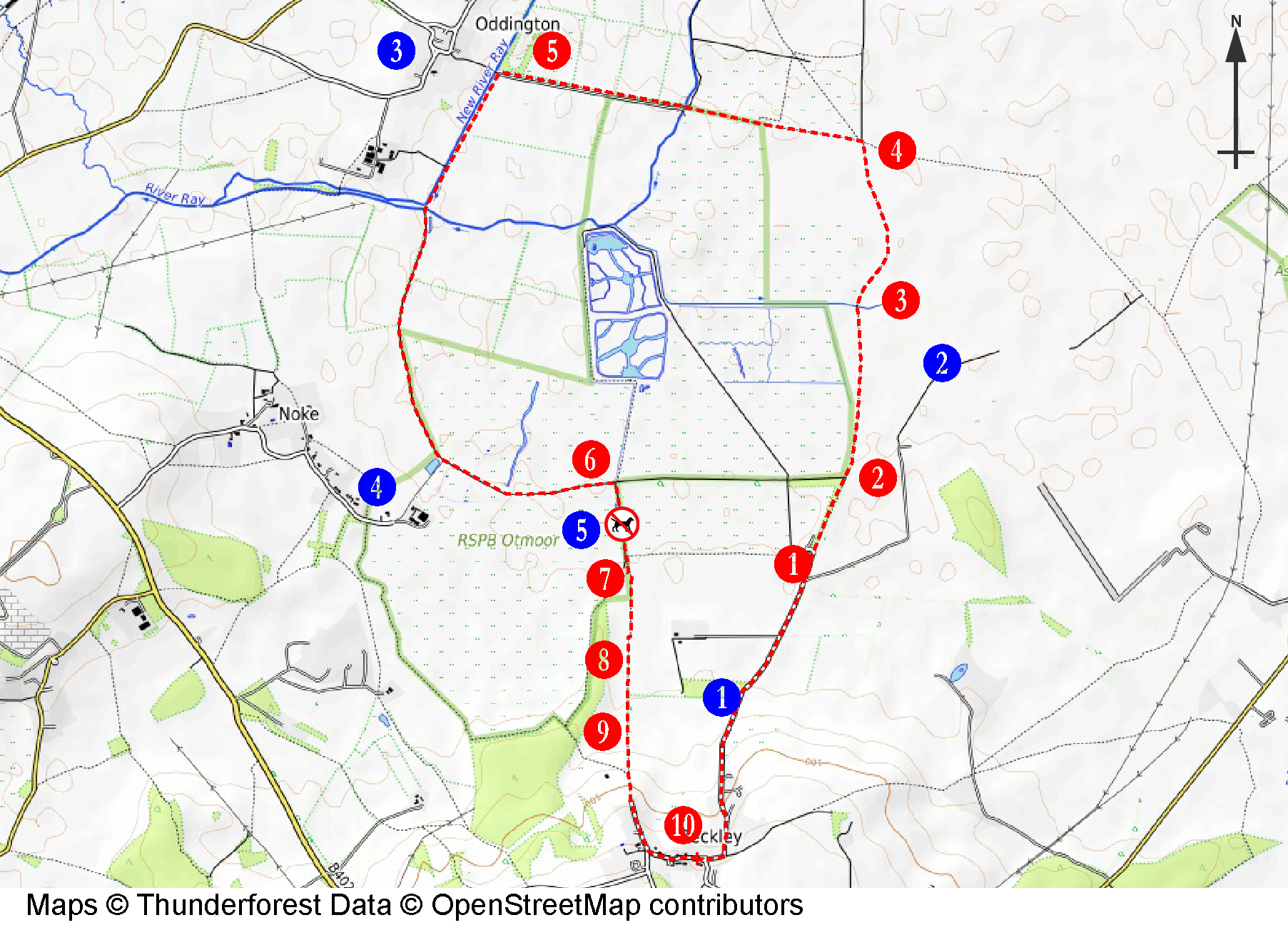
Walk 6 - Otmoor Nature Reserves
Click on map to enlarge
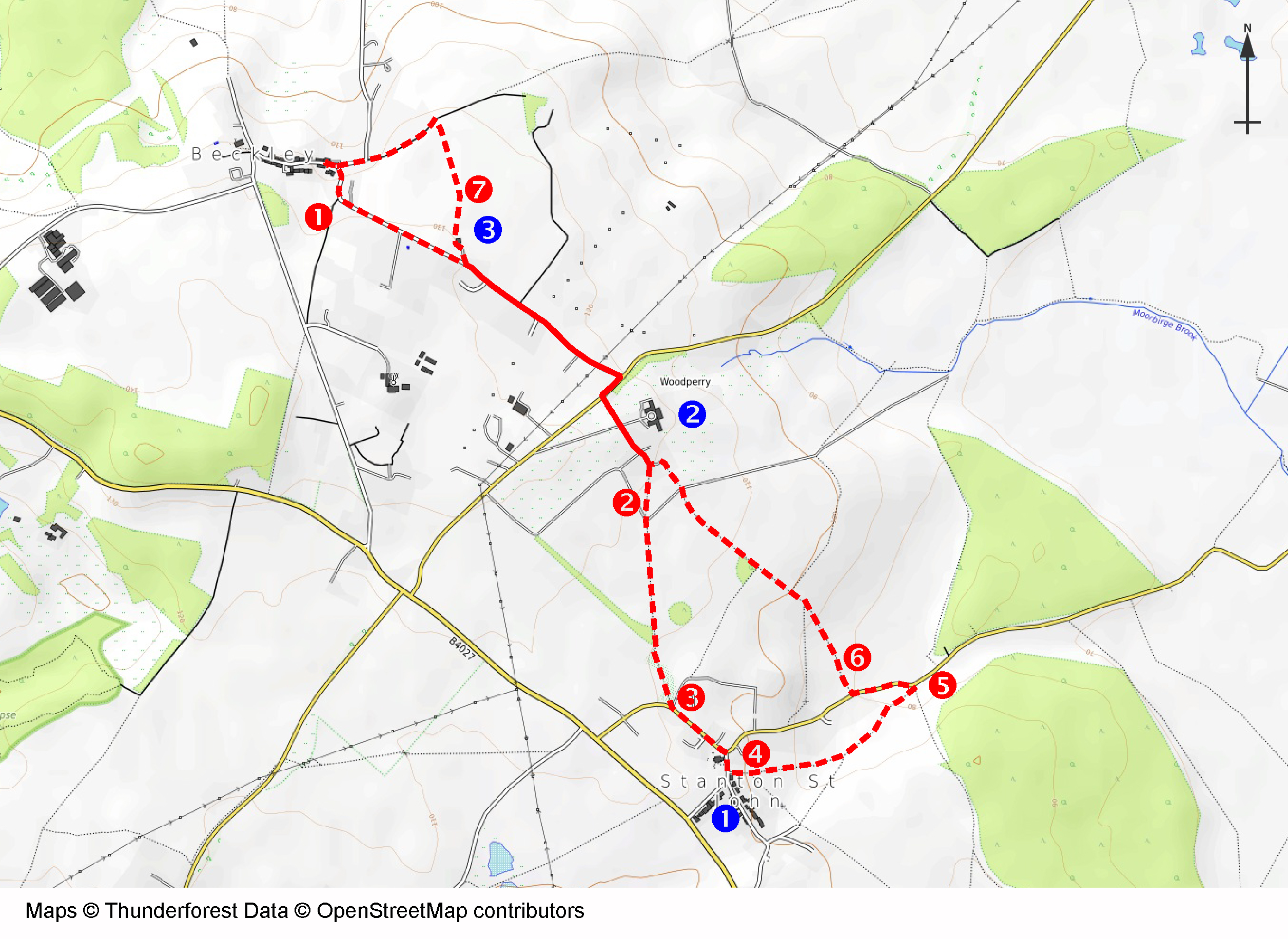
Walk 7 - Beckley to Stanton St John
Click map to enlarge
Walk 8 - Horton cum Studley SHORT circular
Click map to enlarge
Walk 9 - Barton to Sydlings Copse
Click on map to enlarge
Walk 10 - Otmoor Circular
Click map to enlarge
Walk 11 - Forest Hill Circular
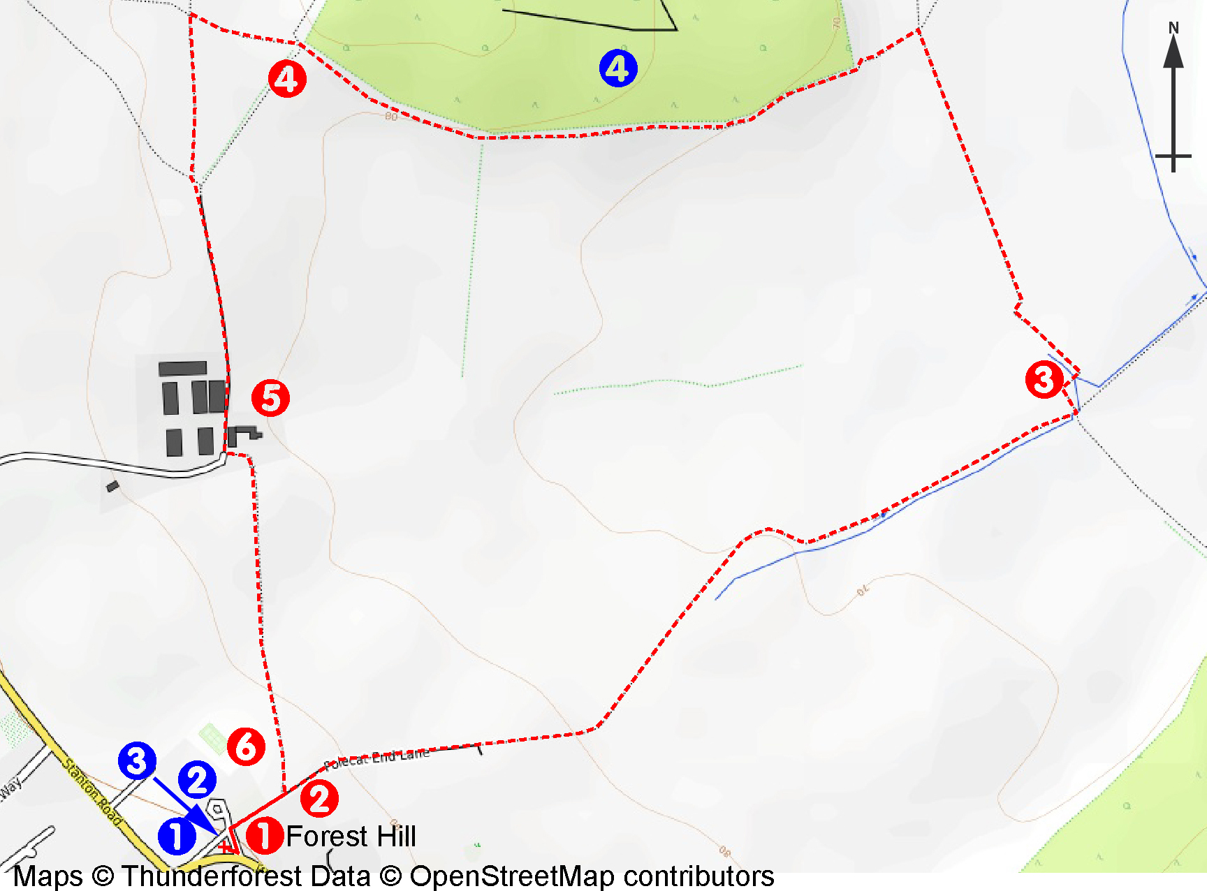
Click map to enlarge
Walk 12 - Stanton St John Circular
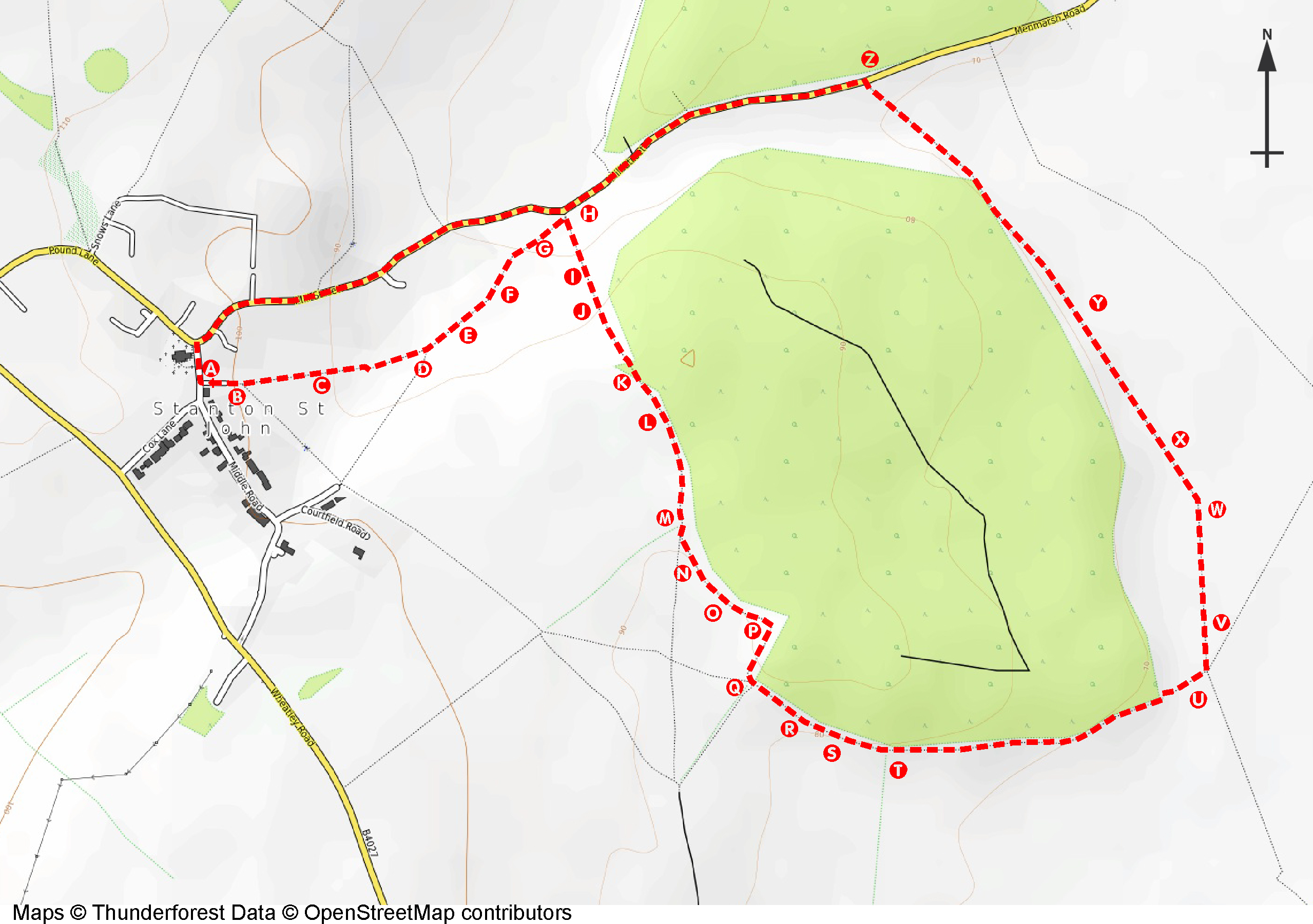
Click map to enlarge
We welcome suggestions for new maps and additions/corrections to existing maps. Please email info@bacbs.org.